
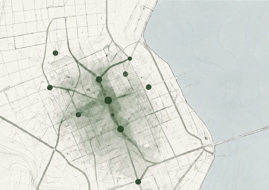
To understand how much a street is used, we usually look at where people move. We should also ask how long they can stay, how much shade they have and when they meet vegetation. A space-syntax and green-tissue reading prepared for Yenimahalle in Atakum offers a starting point where those two maps do not always overlap.
Two boulevards, two movement generators
The source analysis reads Atatürk Boulevard and İsmet İnönü Boulevard as the main urban spines and the movement generators with the highest integration values. İsmet İnönü Boulevard’s tram line ties the route into a wider mobility relationship rather than leaving it as only a vehicle or pedestrian corridor.
These axes also influence how the smaller streets inside the neighbourhood are read. North–south connections descending towards the coast attach to the spines as topography and slope allow.
Green concentrated at the coast, islands within
The green-tissue reading describes more continuous and qualified vegetation along the coastal band, while interior parks remain as point-like islands between housing blocks. This does not mean there is no green inside the neighbourhood. The problem is that the pieces are rarely joined by an ecological or everyday route.
The accessibility paradox
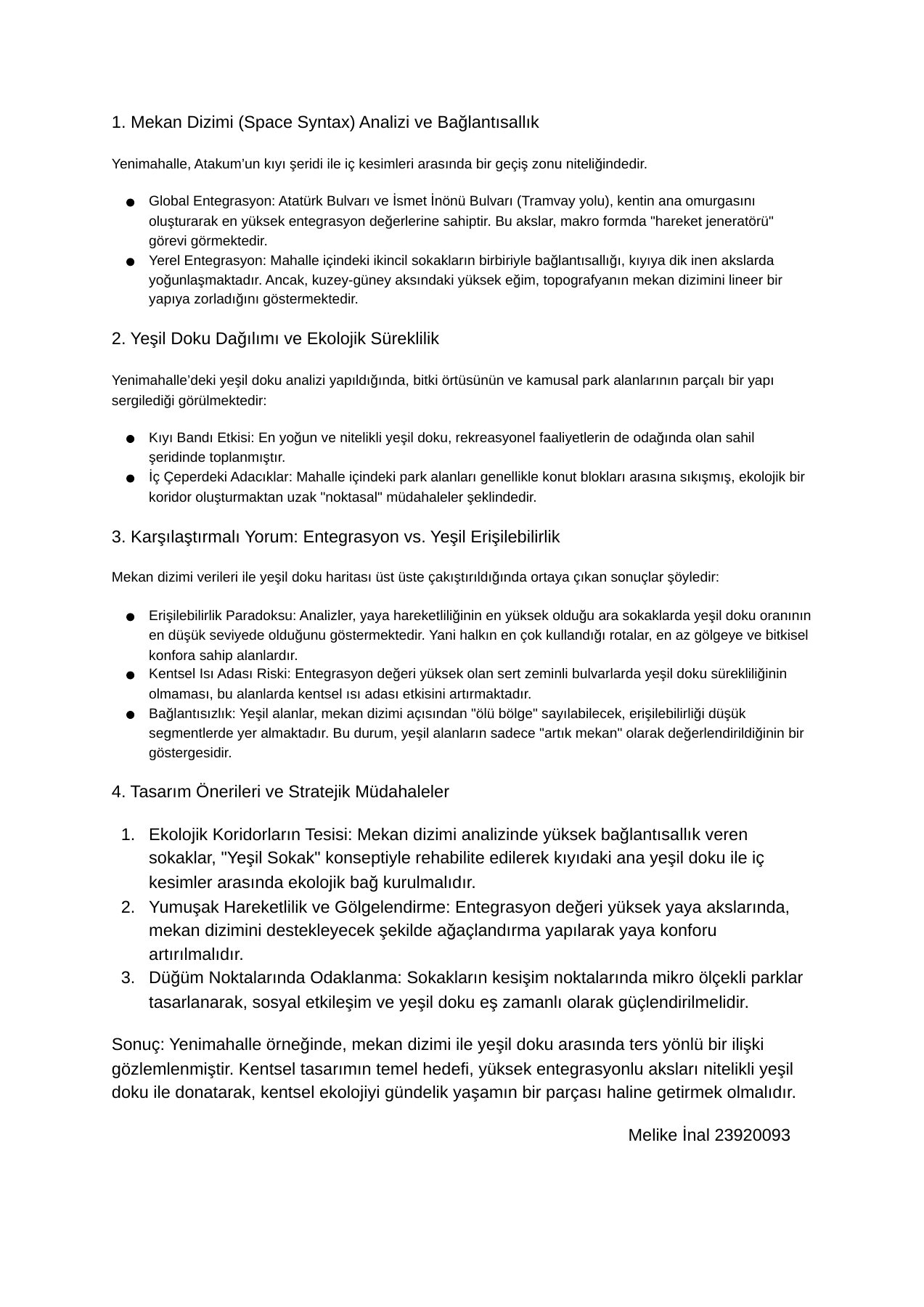
When the routes with the strongest movement are also the weakest in green tissue, the result looks like a simple contradiction. Yet urban design often accelerates flow first and adds shade or ecological continuity later. The most-used route becomes the route where it is hardest to pause.
I do not invent pedestrian counts or GIS values here. The careful conclusion available from the written overlay is that a lack of green continuity on highly integrated, hard-surfaced boulevards may increase urban-heat-island risk.
A green street is a network, not a line
The answer is not to plant every street with the same amount of trees. It may be more useful to pair shade, seating and permeable surfaces with the rhythm of high-connectivity routes; to select north–south links that connect the coastal green band to the interior; and to build small public nodes at intersections.
These nodes are not leftover spaces. They can be micro-centres where green tissue meets daily life. The value of a network lies not only in its total area, but in how usable the links between its pieces become.
Putting shade beside movement
The question in this field note proposes a design measure: where is the shade on the streets we walk most? The answer is not one landscape object, but a climatic sequence made by trees, canopies, permeable ground, water and places to stop.
Space syntax can indicate where movement is likely to concentrate. Green-network analysis asks where that movement can breathe. Bringing the two into one drawing helps us read the neighbourhood not as a surface to cross, but as an ecology to inhabit.